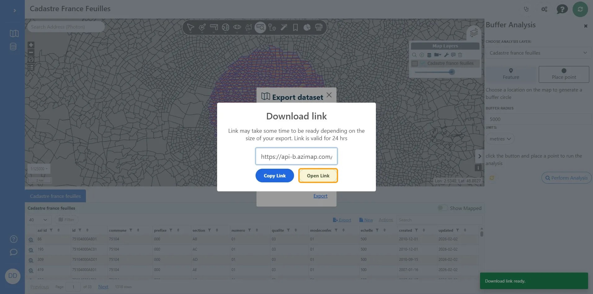
This workflow guides users through performing a spatial buffer analysis on French cadastral data using Azimap. It includes steps for setting up the buffer parameters and exporting the results.
1
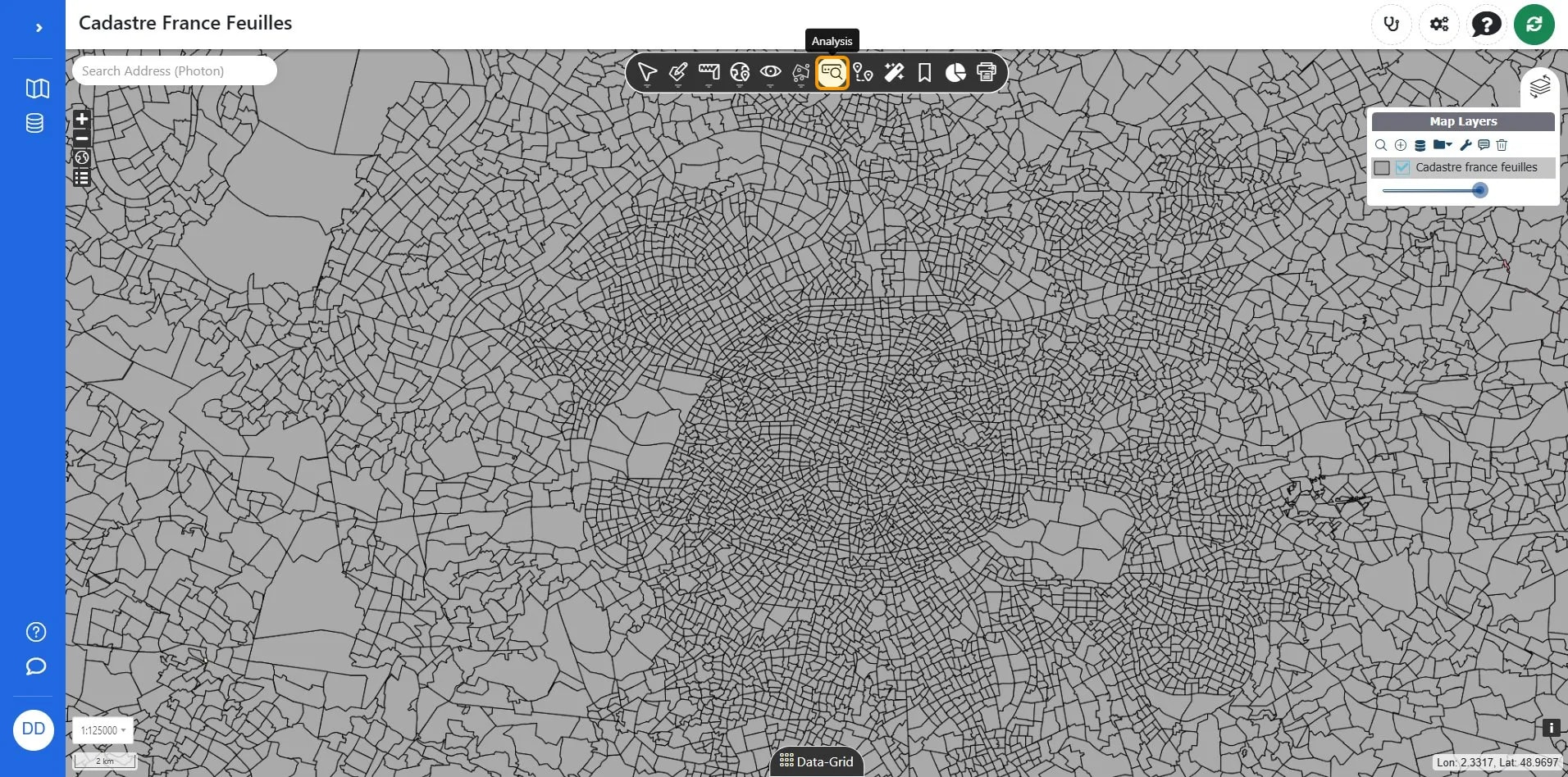
Click Analysis.
2
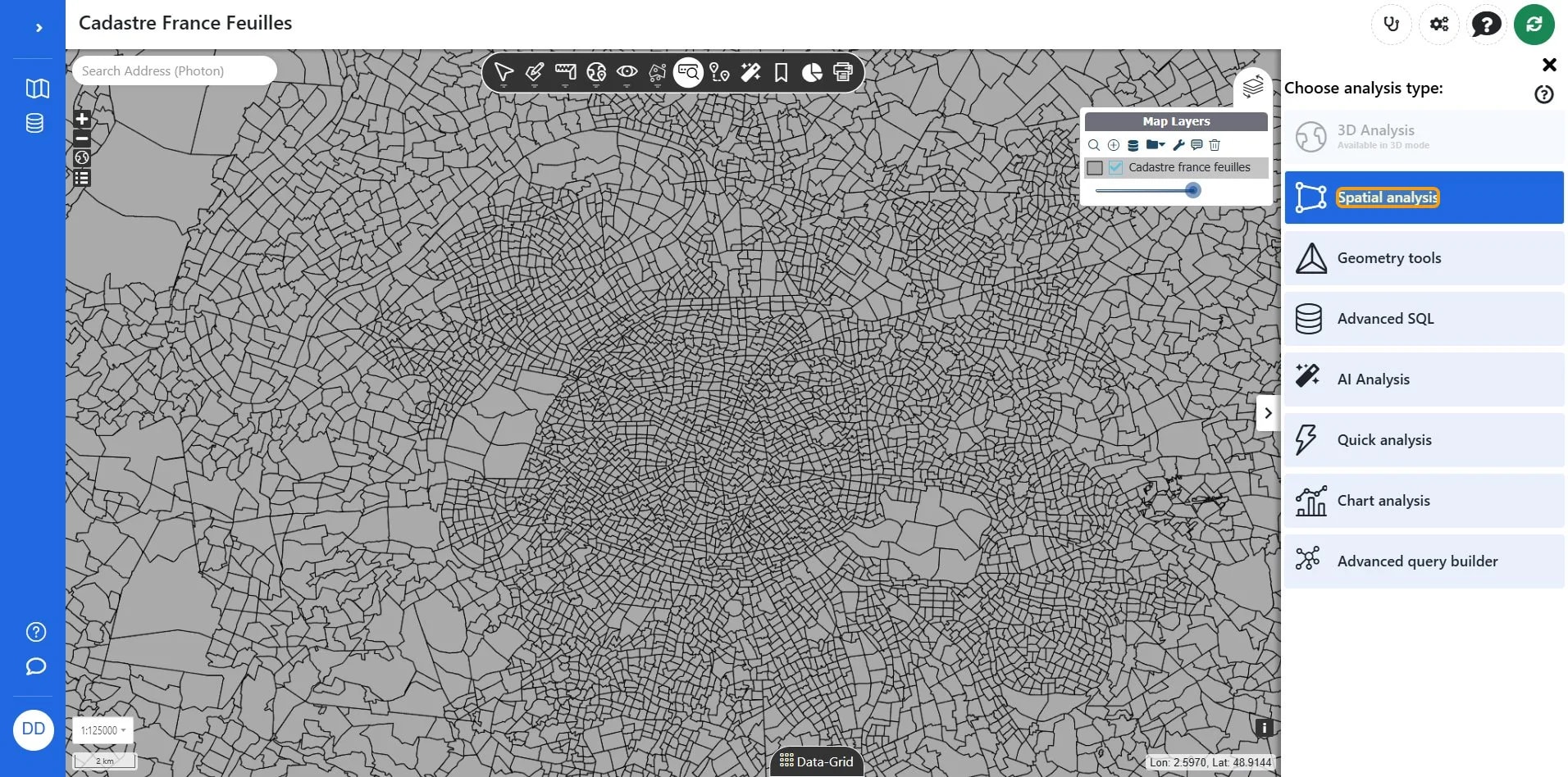
Click Spatial analysis.
3
Click Buffer_101.
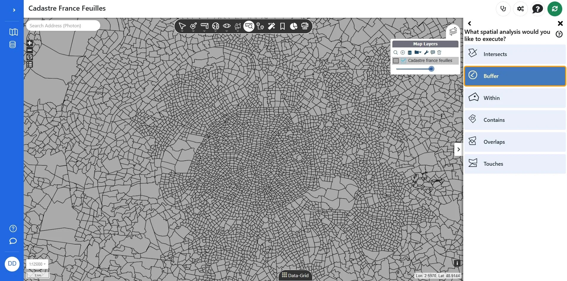
TipWith buffer you can click a point on the map as we do here or select an existing feature to compare to another layer. in this case we only have one layer so we click a point on the map.
4
Click Place point.
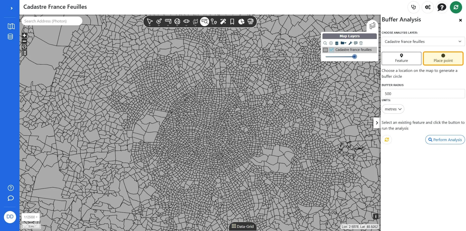
5
Click the Buffer radius field to set or adjust the buffer distance value for analysis.
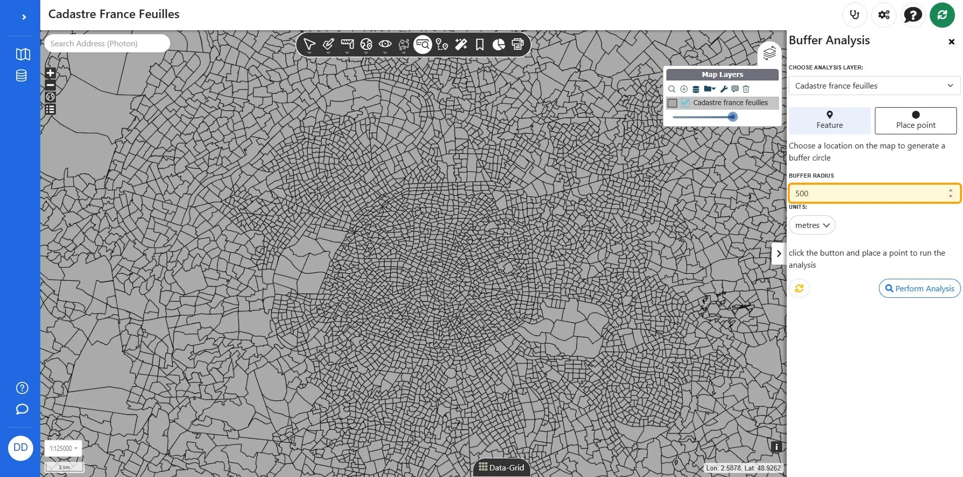
6
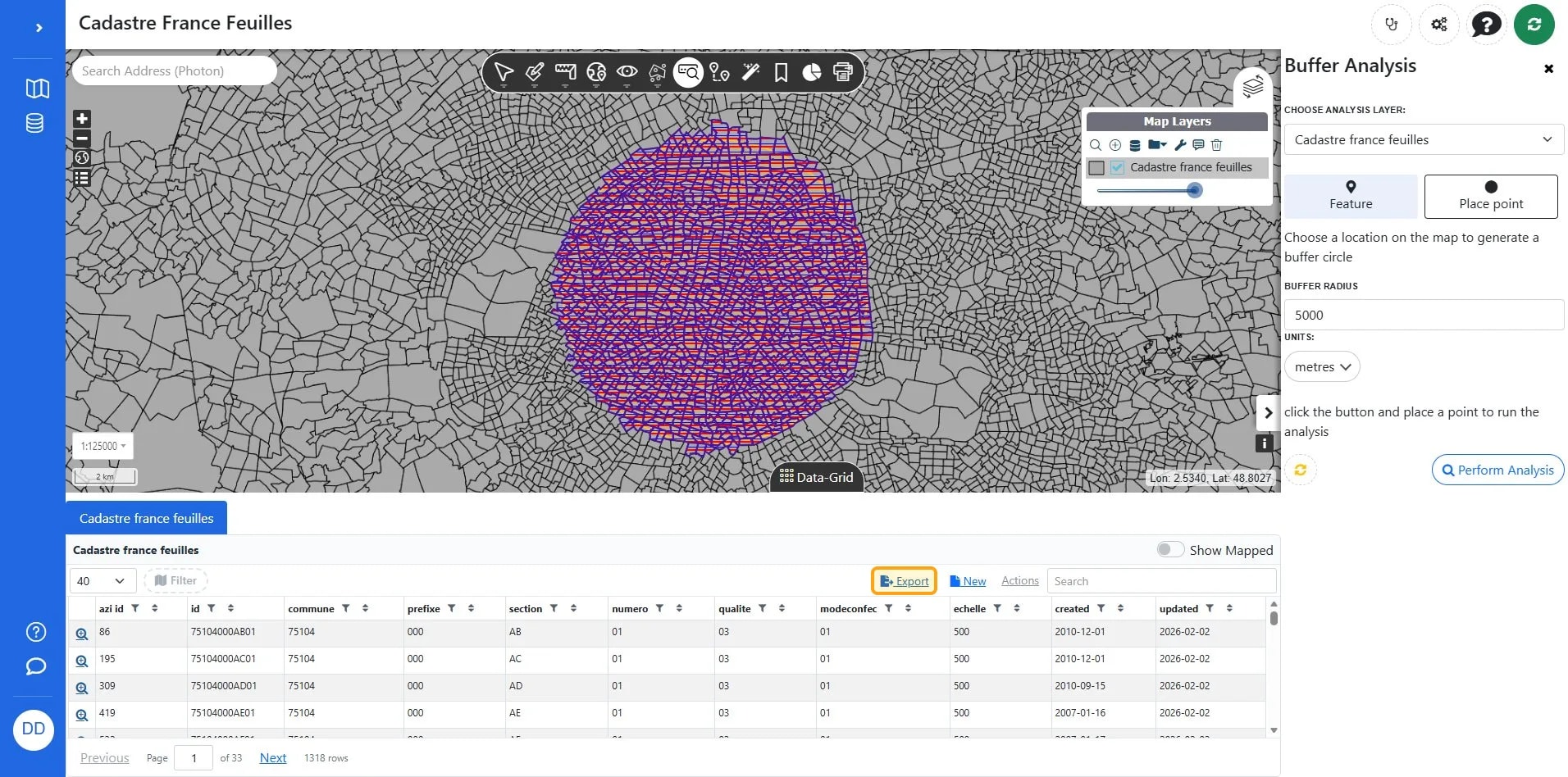
Click Perform analysis.
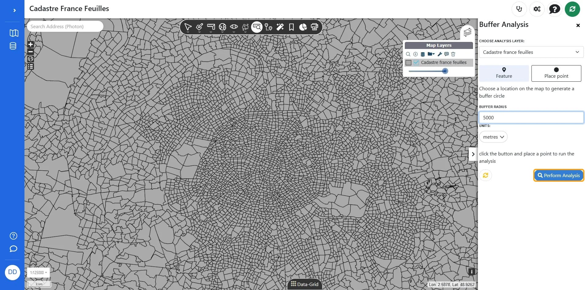
7
Click a location on the map.
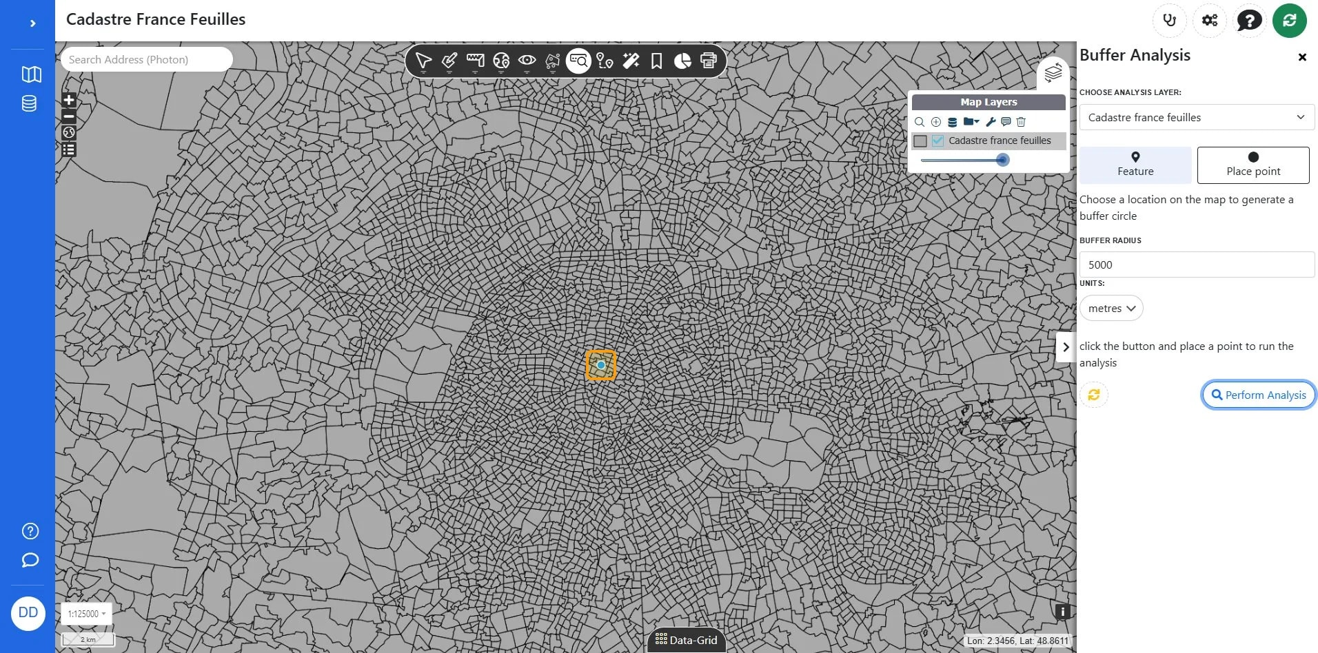
8
You results will appear on the ap surface and grid. if you want to you can export results by clicking Export.
TipAdvanced allows you to change the projection of the export.
9
Click type you want to export and click Export.
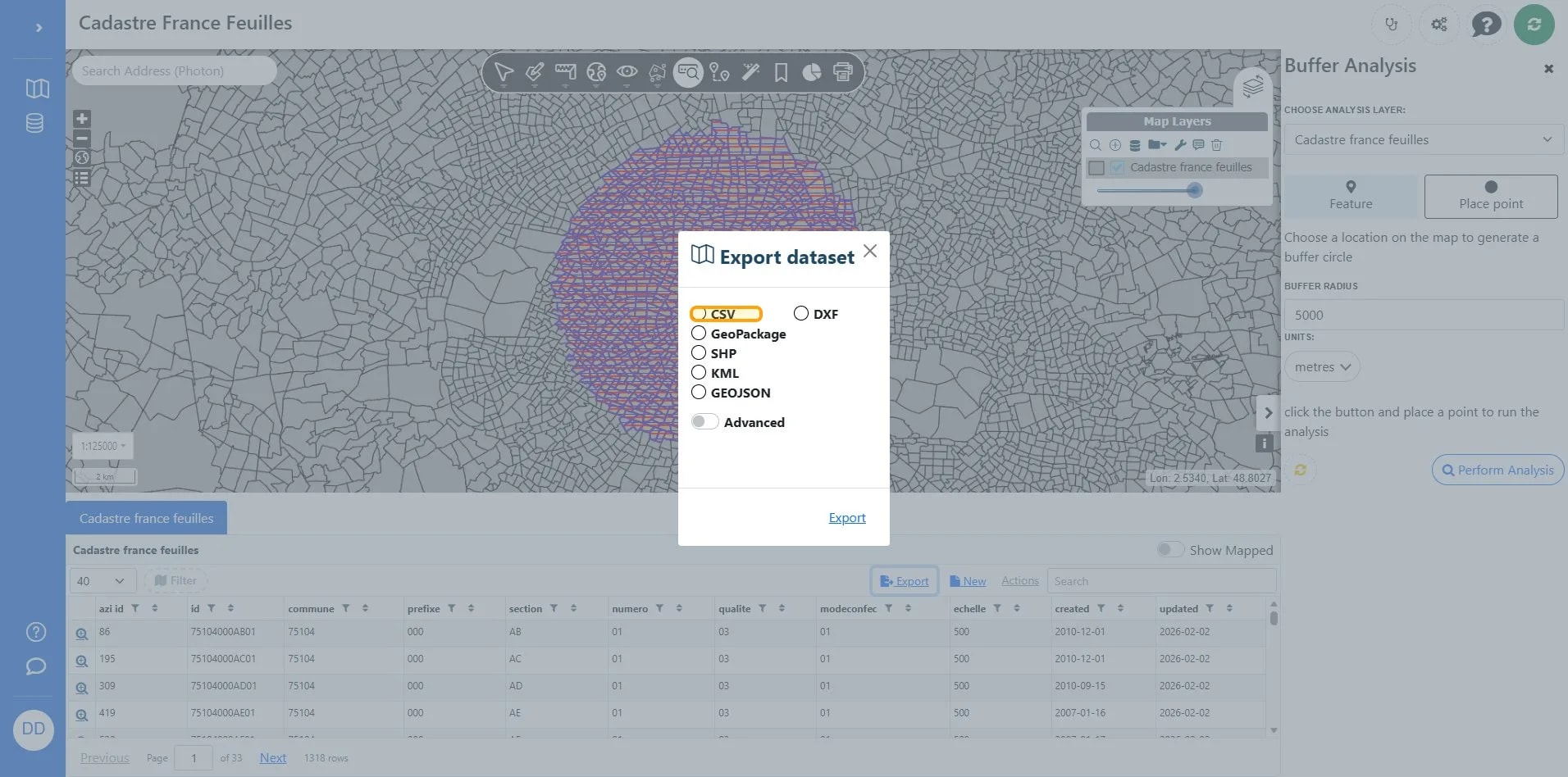
AlertSmall exports should be available immediately, larger exports may take some time, you can copy the link for later and you will get an email when it is completed.
10
Open link or copy link.