Adding a dataset to a map
This workflow guides users through configuring a map layer in Azimap by adding data, adjusting view settings, and reordering layers. It includes enabling features like 'Zoom To' and 'Basemap' for enhanced map functionality.
1
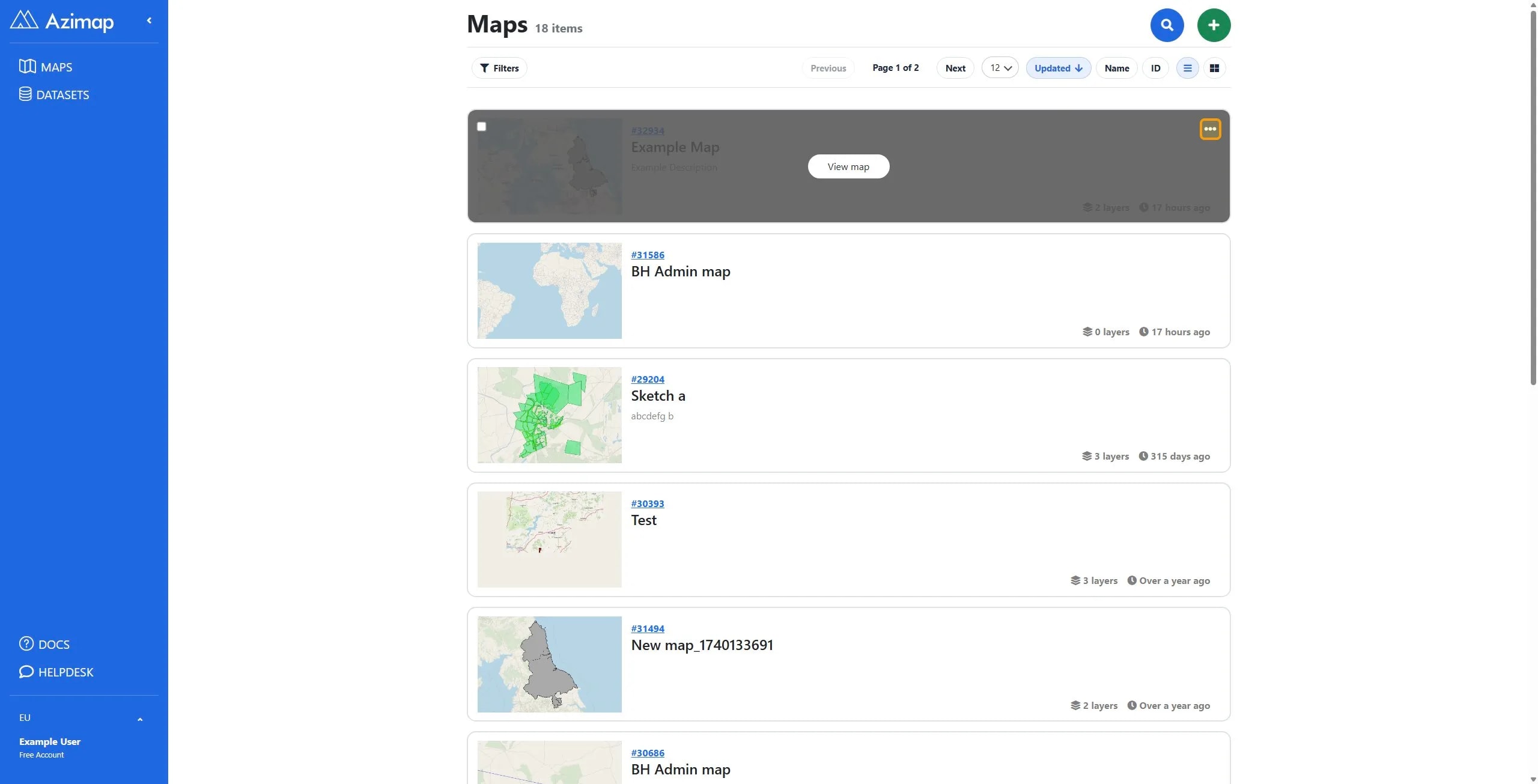
Hover over the map you wish to add a dataset to and click the three dots at the top right.
2
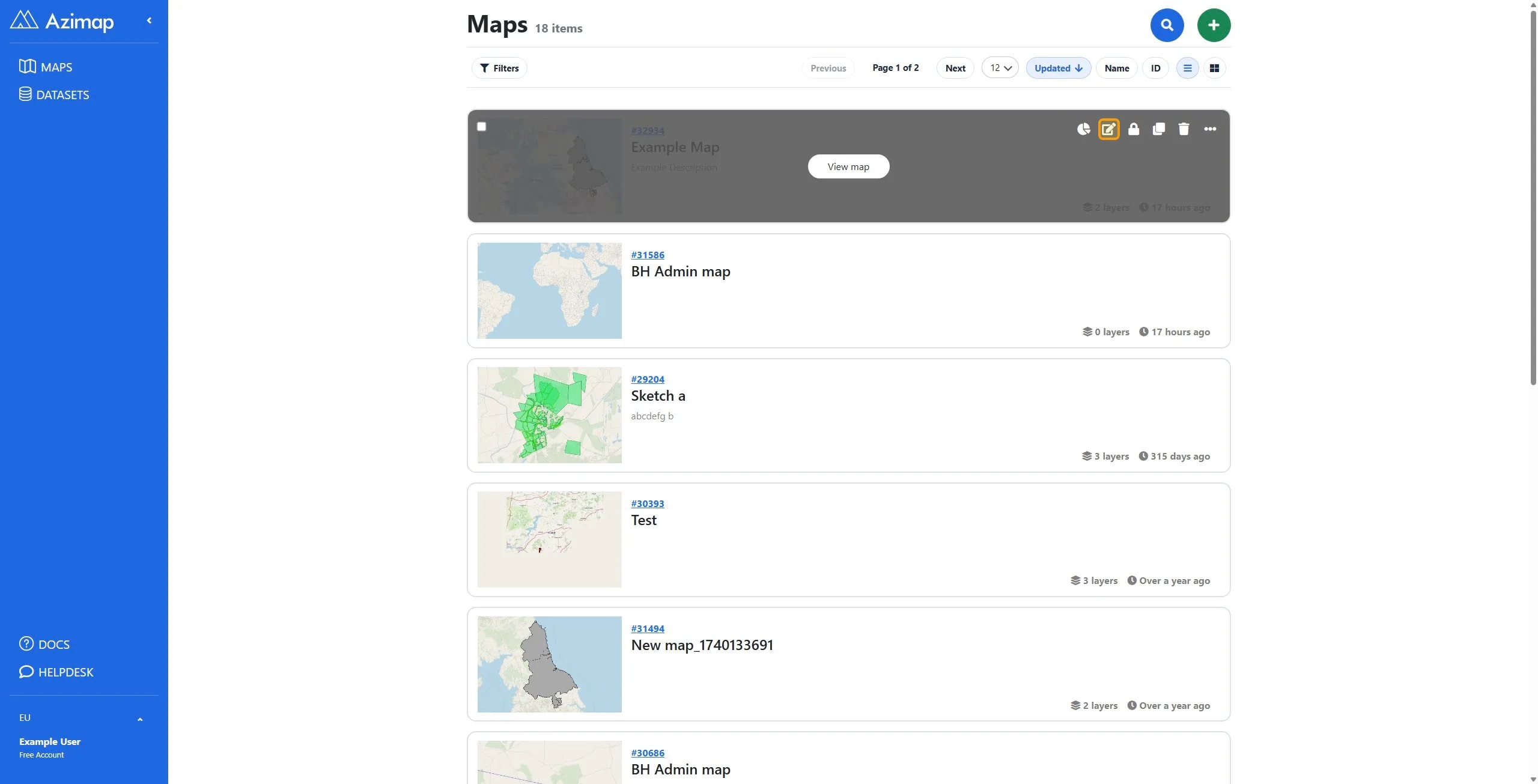
Click the Edit details button to open the map configuration menu.
3
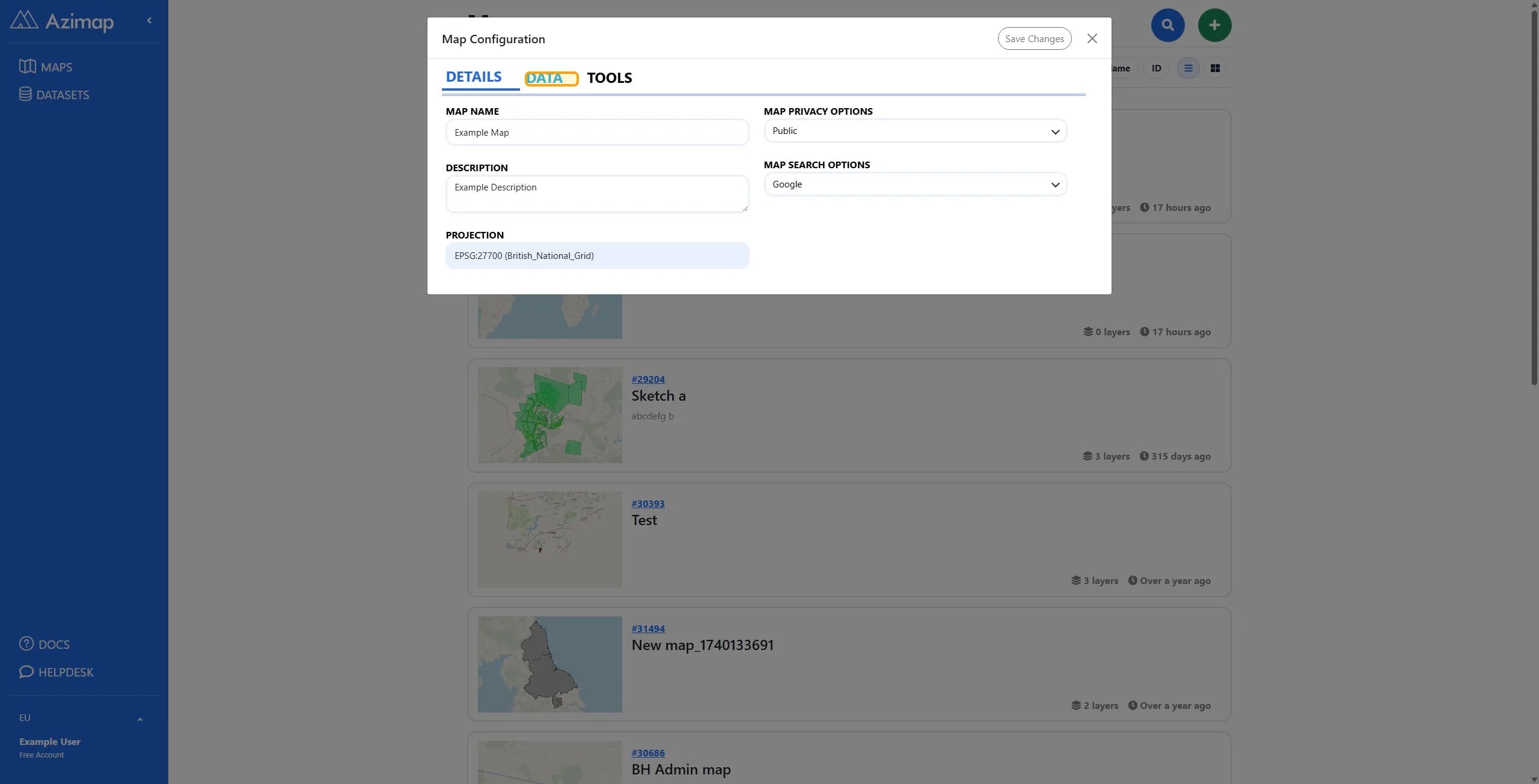
Click DATA to show the Data tab.
4
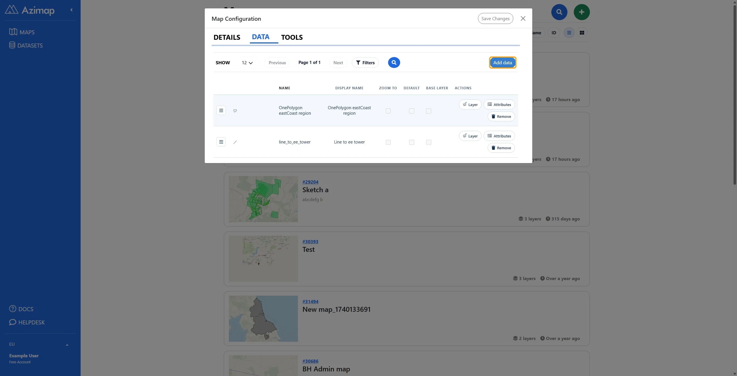
Click Add data.
5
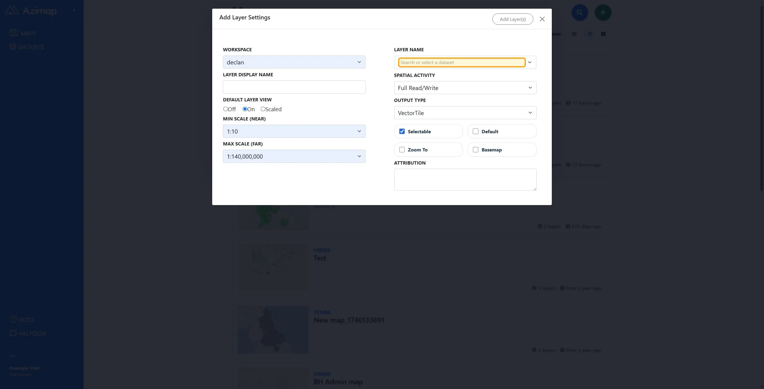
Select the Layer Name dropdown which is searchable. This allows you to search through all of your datasets.
6
Select the dataset you wish to add to the map.
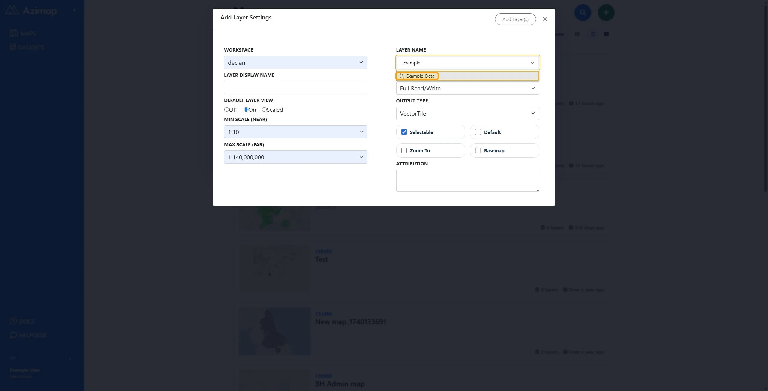
TipYou can search for and add multiple datasets at this point.
7
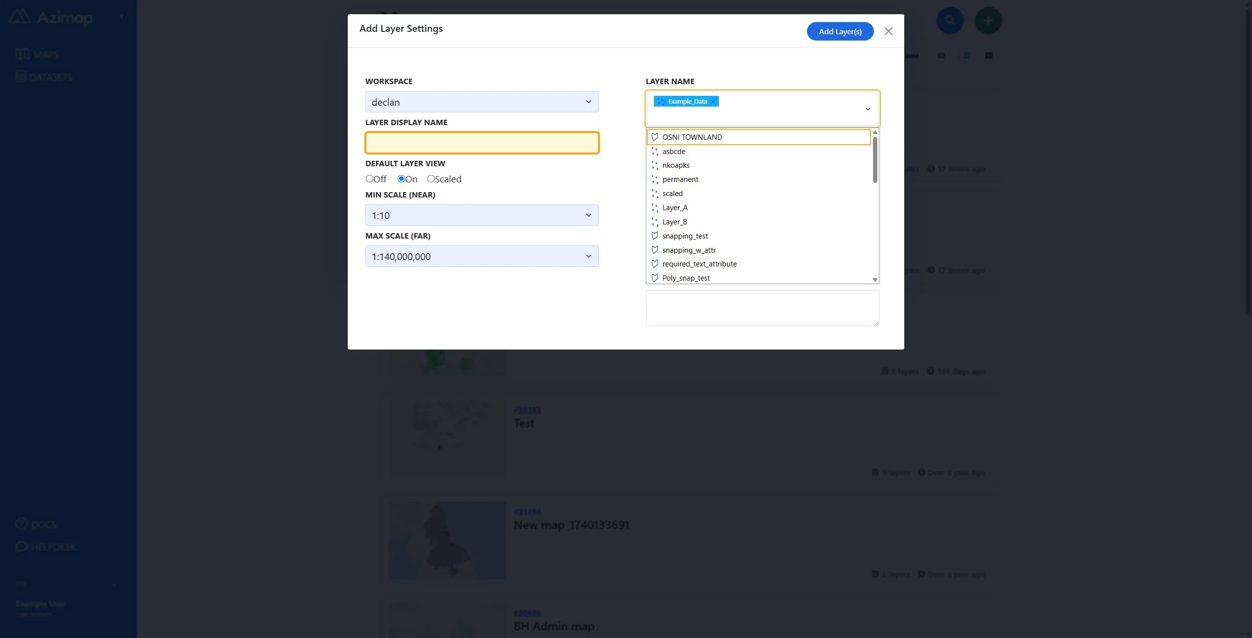
You can optionally add a layer display name. This will be the name that appears on the map for this layer.
8
This Default view can be set to Off, On, or Scaled.
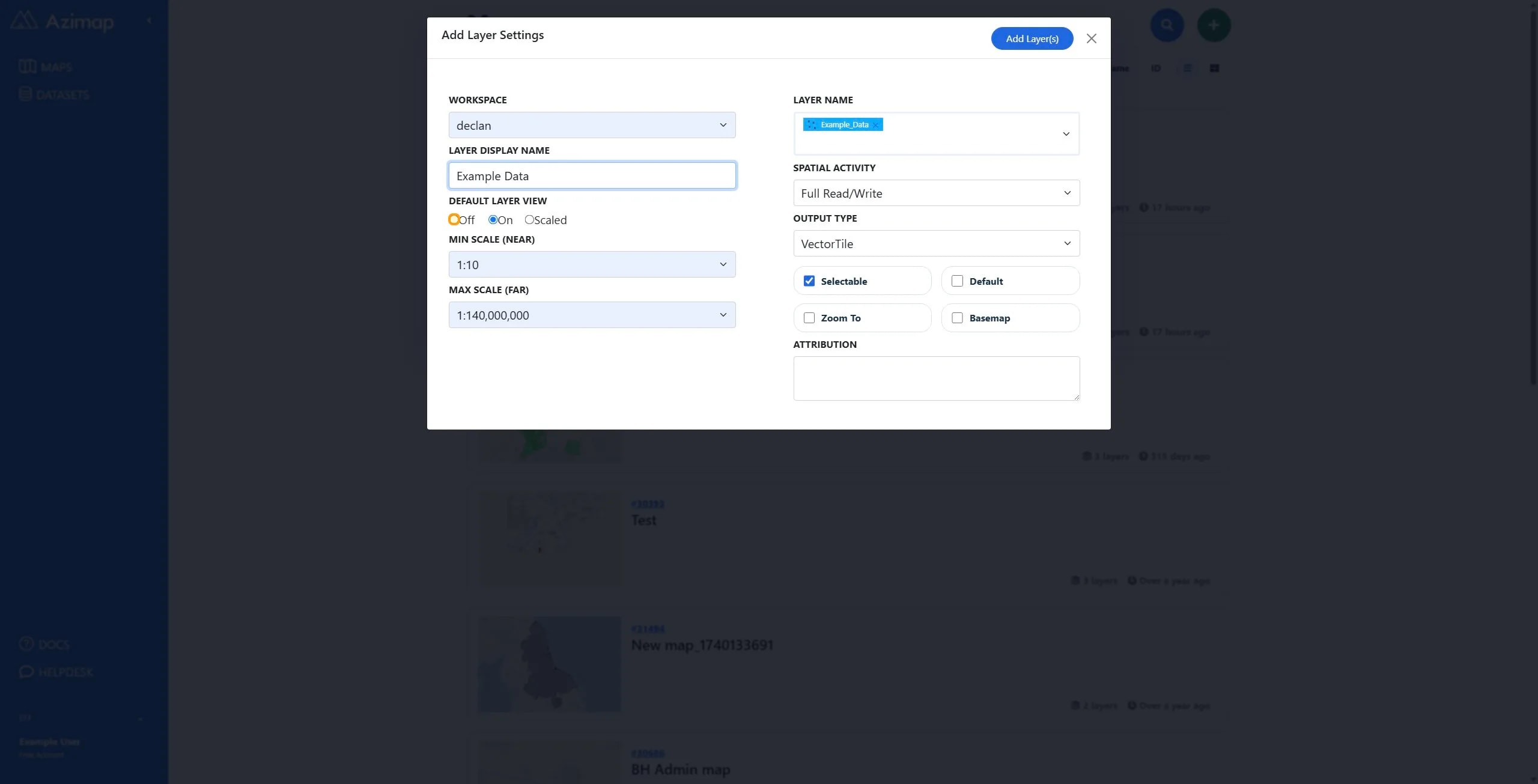
TipOff means the layer is not visible by default when the map first loads. (it can be made visible manually by the user)
On means the layer is visible by default when the map loads.
Scaled means the layer will be shown/hidden based on the zoom level on the map i.e. if the user is zoomed out very far the layer will not be visible, but when they zoom into a given zoom level the layer will appear.
9
Check or Uncheck Selectable.
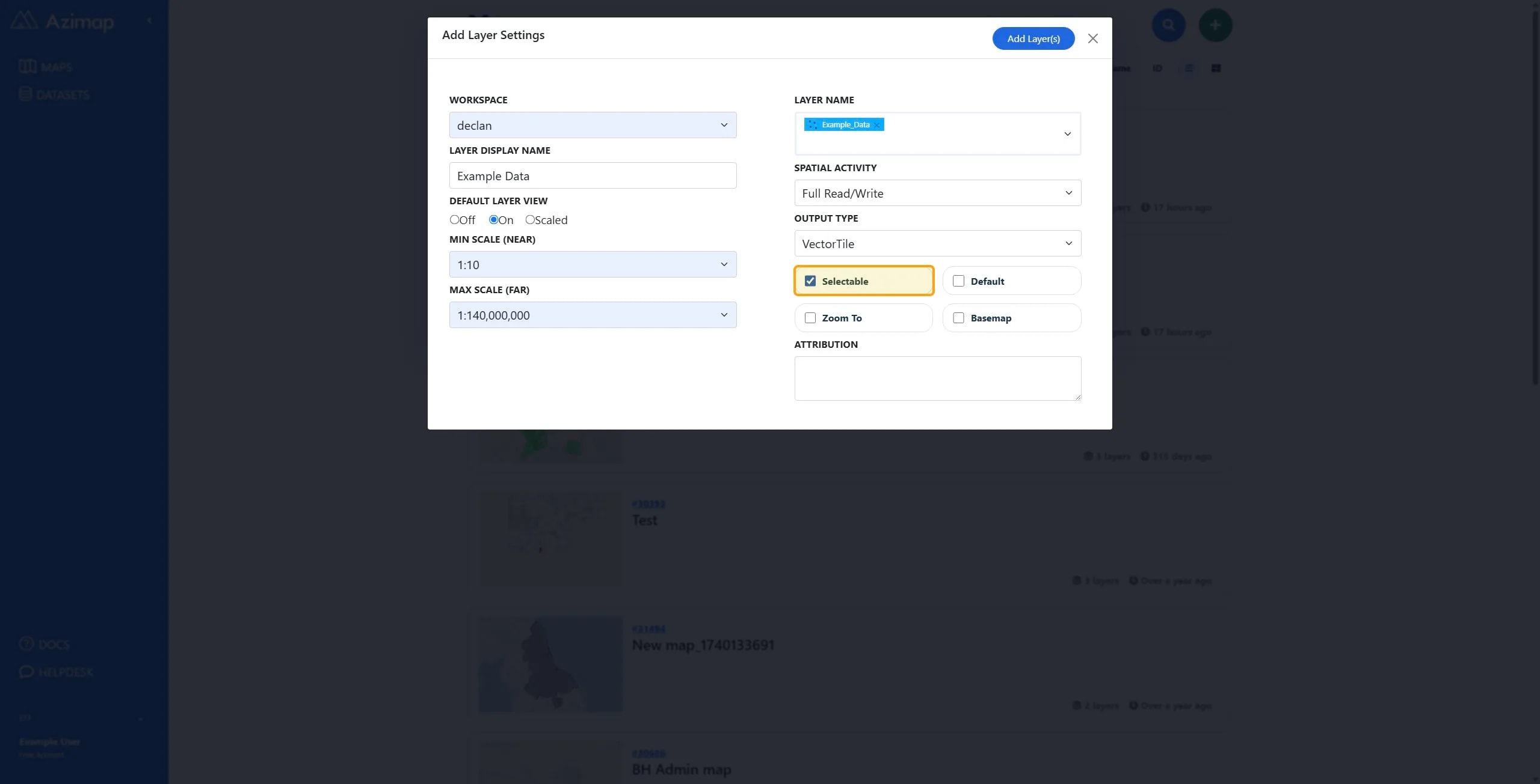
TipSelectable means the layer can be selected in the layer switcher on the map.
10
Check or Uncheck Default.
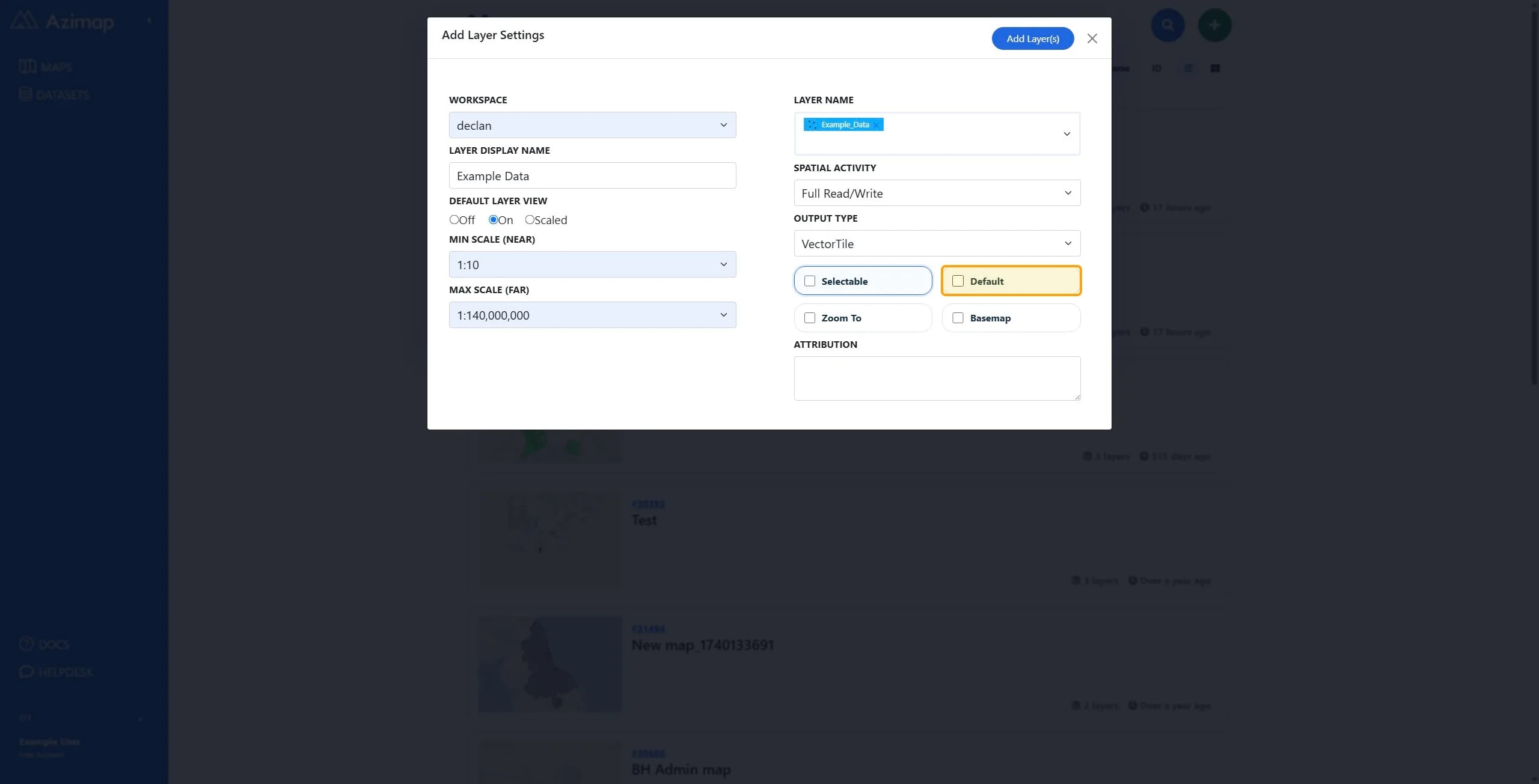
TipDefault means that this layer will be selected by default when the map first loads. Note: only one layer can be default selected per map.
11
Check or Uncheck Zoom To.
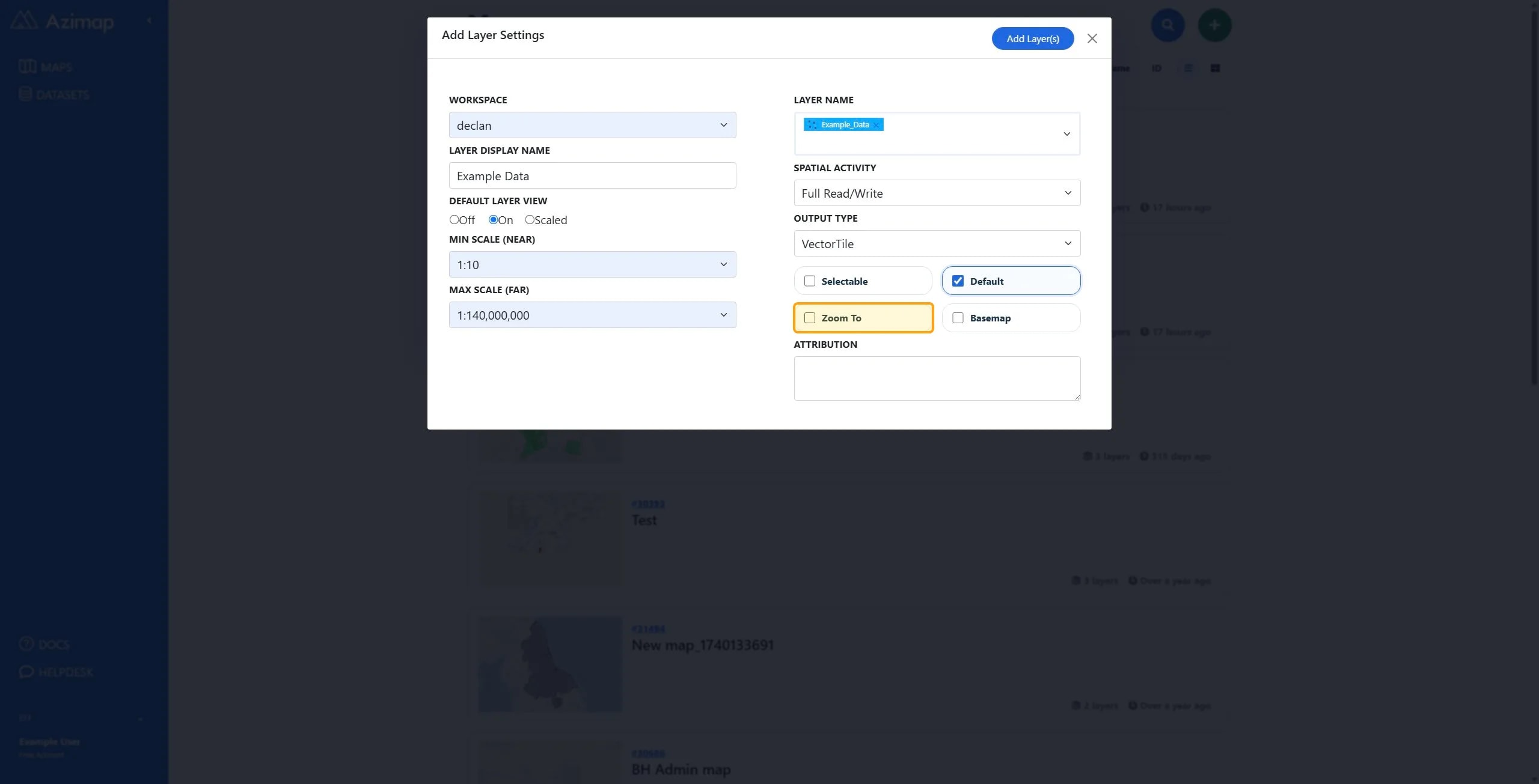
TipZoom To means that the map will zoom to the bounds of this layer when it first loads. Note: only one layer can be set as a Zoom To layer per map.
12
Check or Uncheck Basemap.
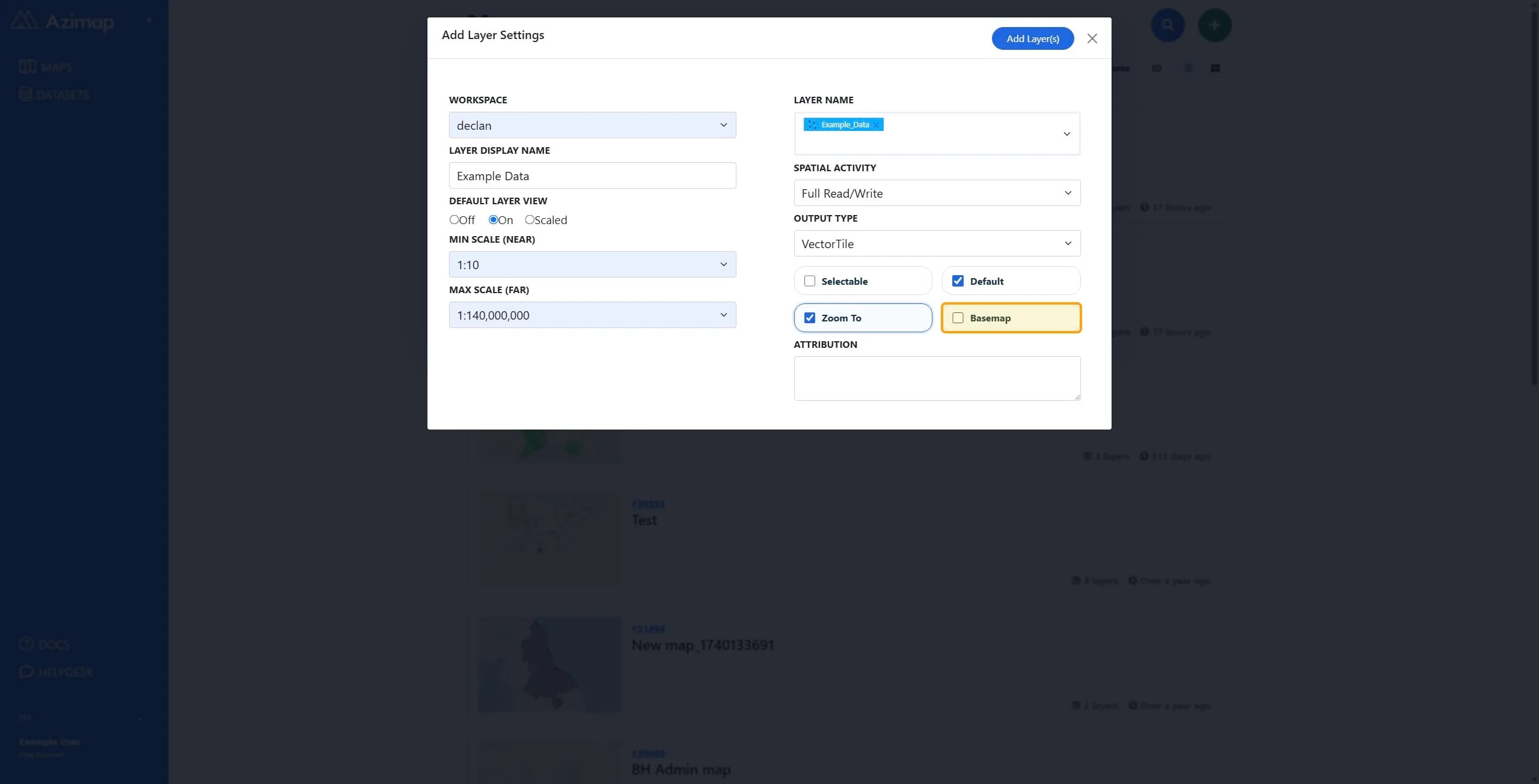
TipBasemap treats the dataset as a base layer rather than a data layer.
13
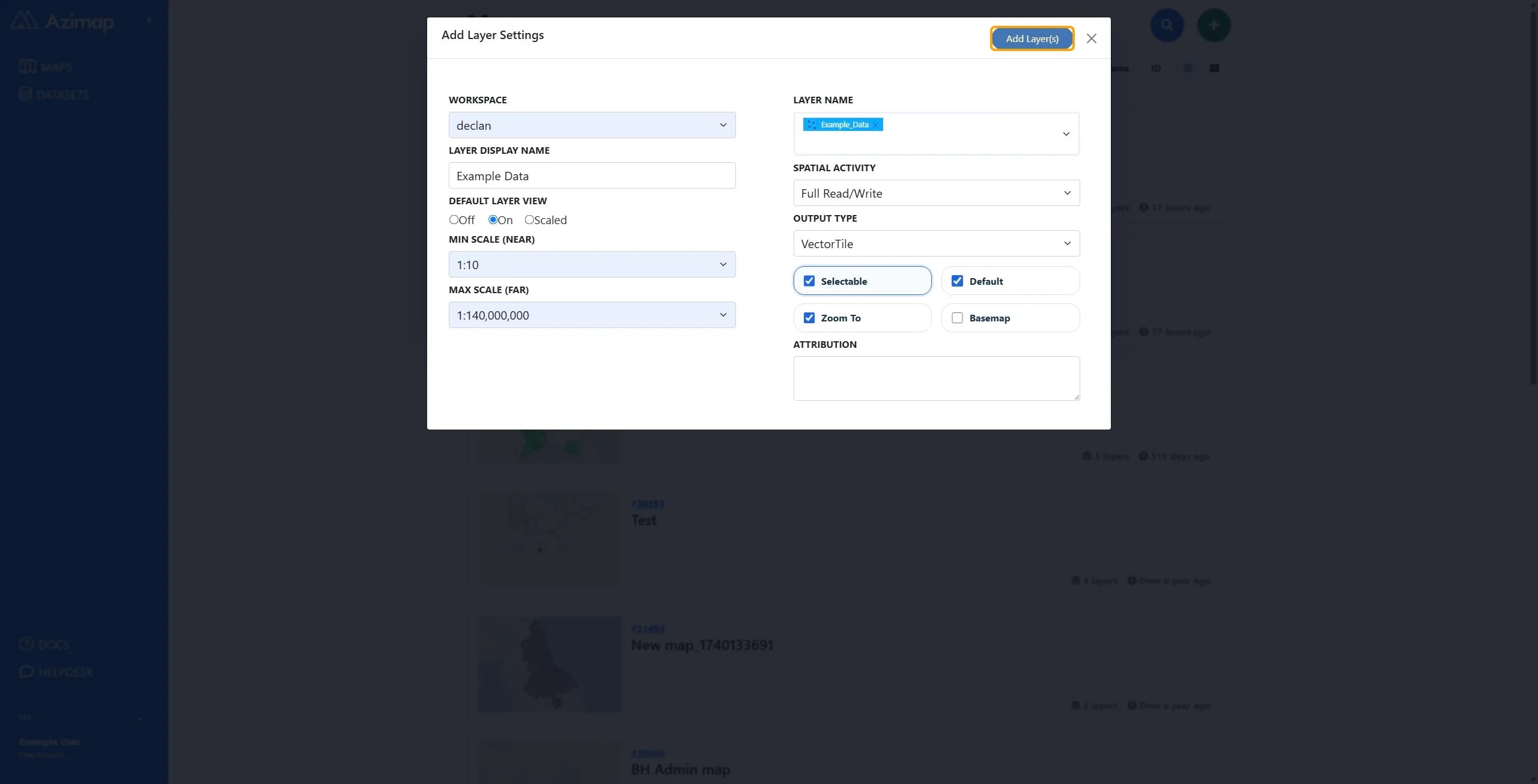
Once you are happy with the layer configuration click Add Layer(s).
14
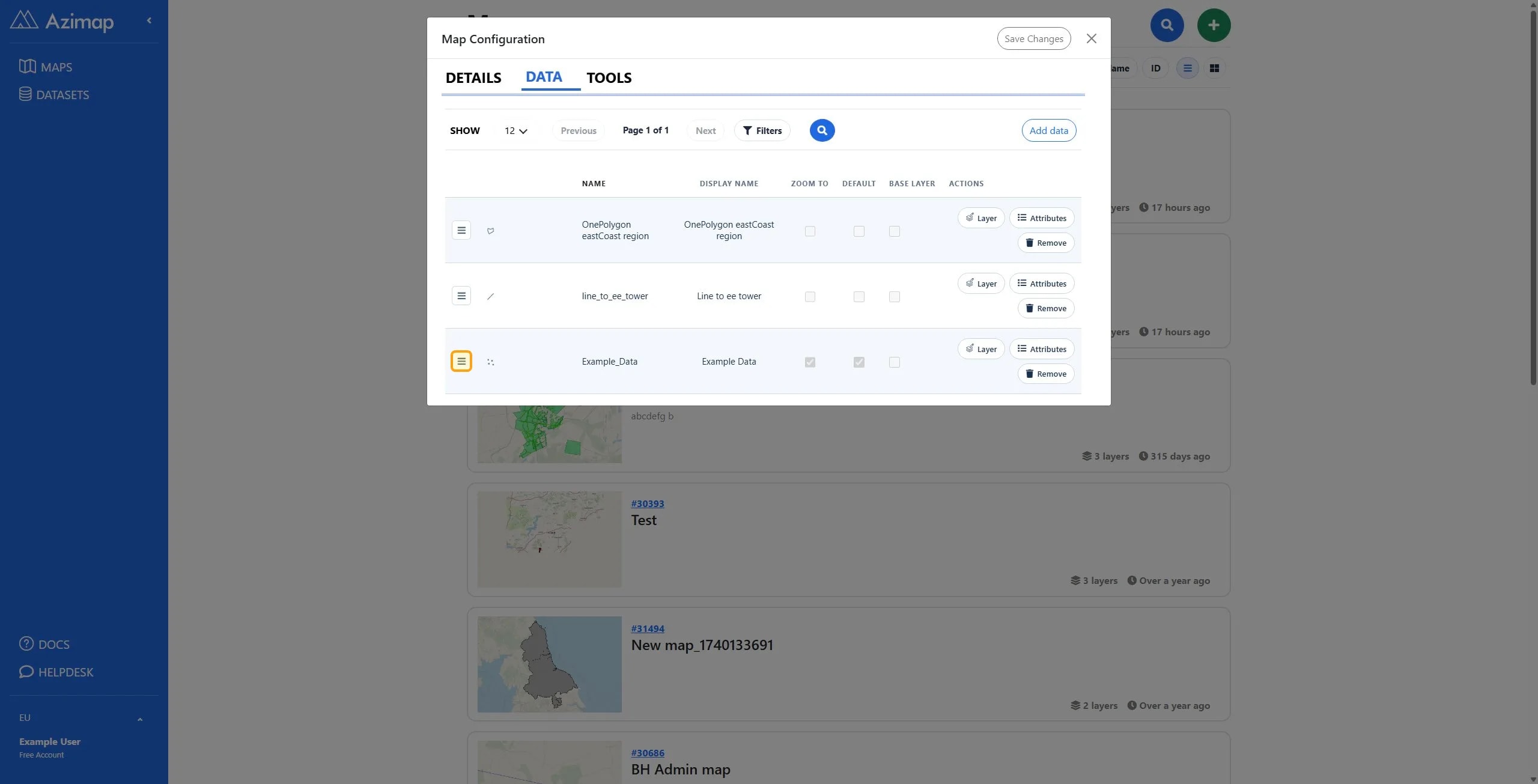
The newly added layer is automatically placed at the bottom of the layer list. Click and drag the Drag to reorder button on top of another layer to reorder the layer.